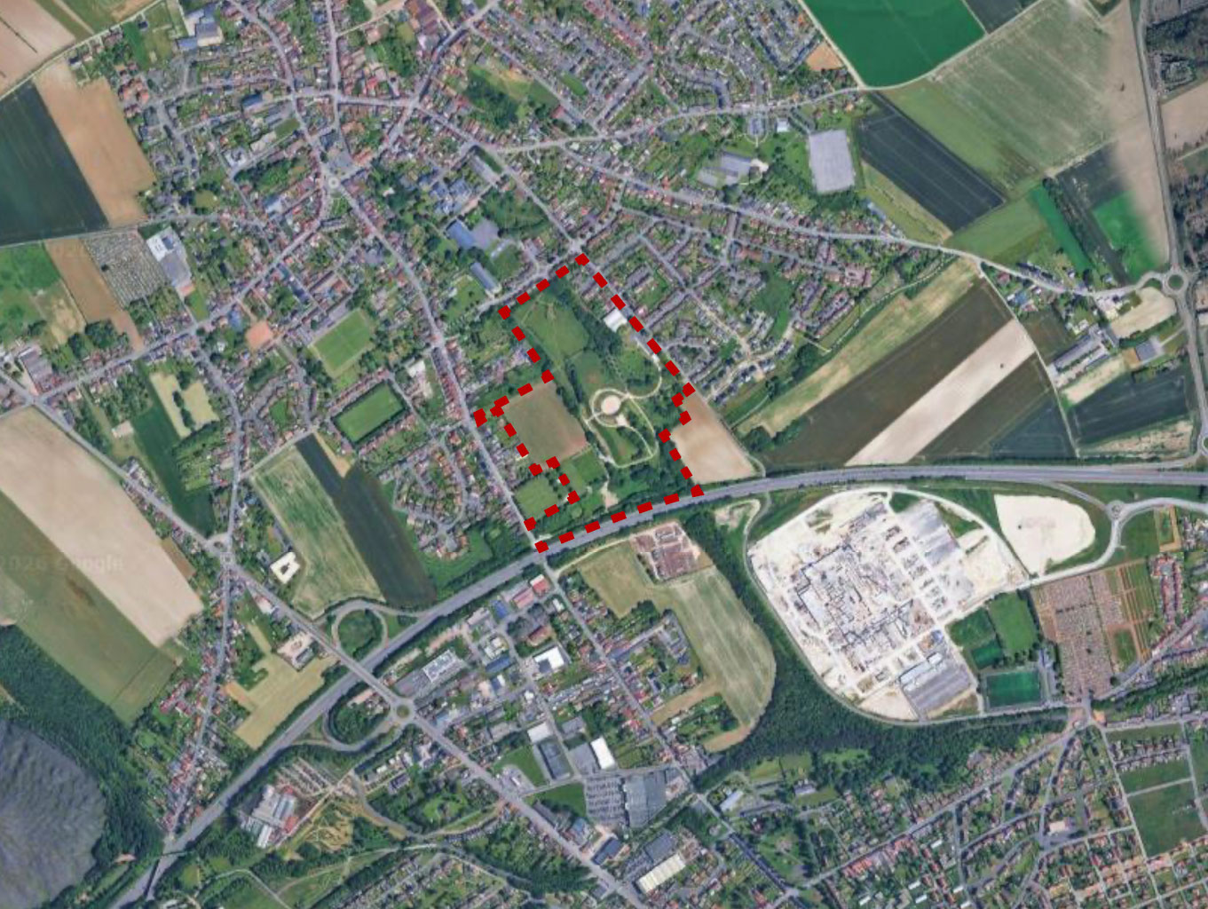
Notes on the Design and Architecture of Hill 70 Memorial
The Monument
Located within a beautiful 5-hectare (12 acre) municipal park belonging to The City of Loos en Gohelle as outlined in red below.
It creates a physical presence for the commemoration of the Battle of Hill 70 and produces an enduring legacy for current & future generations of Canadians regarding their own history. It includes an interpretative visitors centre that provides an overview of the battle.
Additional information displays throughout the site are also in both English & French.
Adjoining the Memorial is the Commonwealth War Graves Commission Cemetery containing the graves of the dead of the several battles of Hill 70. It was started by the Canadians in August 1917 after their successful seizure of this ground.
The obelisk is situated in the Canadian trench lines at the start of the Battle of Hill 70, roughly in the area occupied by the 10th Battalion, Canadian Expeditionary Force (Now jointly perpetuated by The Calgary Highlanders and The Royal Winnipeg Rifles).


Interpretation of the Architect’s Design
The park is planted with two trees that are native to Canada: the Sugar Maple (Maple being our national tree) and the Red Oak (symbolic of the tough stock from which the soldiers were made).
The grassed areas are planted with a mix of wild flowers native to the region of Pas de Calais. Most notable is the Poppy, which was made famous in LCol John McRaes’s poem, “In Flanders Fields”.
The Pathways compress & channelize you as you climb to the summit, rather like the approach to battle during the First World War.
The gradual rising pathway to the summit of the memorial has 1,877 imprinted maple leaves, one for each Canadian killed at Hill 70.
Near the junction / plaza at top of the principle walkway, one has the choice either to go into the amphitheater ahead, or the trench on the right (which represents the claustrophobic effect of trench warfare).
The Amphitheatre is named for Lt Gen Sir Arthur Currie, the first Canadian-born General to command The Canadian Corps during the First World War. On its floor is imprinted an enormous maple leaf of the style used in cap badges of the Canadian Corps. Its scale, more difficult to perceive as you walk into the amphitheater, represents/captures the significance of the battle when viewed from afar.
From the top of the trench, one sees an all-round view. It is both informative & emotional as one overlooks the battlefield. From it the soldier can view the entire battle; it is the most vulnerable moment before the objective is achieved.
The Bridge on the summit pathway (The Frederick Lee Walkway) represents no man's land and how a soldier is exposed and vulnerable when crossing it.
Then at the Obelisk, a traditional symbol of victory is represented; its location is a metaphor for the ultimate objective - the capturing of the high ground of Hill 70. Made of white limestone, it rises to 70 meters above sea level, the elevation of Hill 70 itself. The capstone pyramid of the Objelisk is 5'7, representing the average height of a Canadian soldier victorious atop Hill 70.
Attached to the Obelisk are two crosses of sacrifice; these are crusader swords reversed to from the image of a cross, a traditional commemoration for fallen warriors.
From the base of the Obelisk, one has a good. view of the The Commonwealth War Graves cemetery to the west, the town of Loos-en-Gohelle to the north, and with binoculars - the Canadian monument at Vimy (8 kilometres / 5 miles) to the southeast. The Hill 70 Obelisk is also visible from afar.
How the Project got started.
Find out more below.


